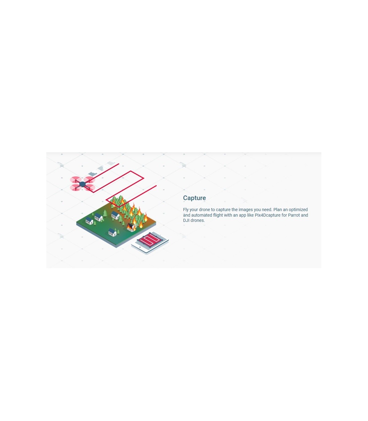
PIX4D React is the brand new software for photogrammetry of emergency developed by the publisher Pix4D to meet the need of emergency services to map an area quickly and without access to the internet. Because every second counts in this case, it allows you to quickly compare an area before and after a disaster in minutes! It is usable with drones DJI or Parrot, and with a computer of "average" for use in local and not in cloud.
This software is available by monthly subscription, annual or perpetual license. Monthly rate: 49€, annual: 419€, perpetual 1099€. Contact us for a quote.
It has recently been used in the assessment of the damage caused by Hurricane Dorian.


