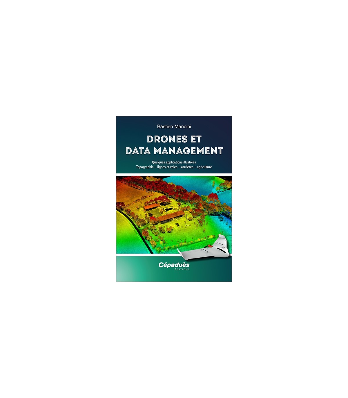
Book Cepadues - DRONES AND DATA MANAGEMENT. SOME ILLUSTRATED APPLICATIONS: TOPOGRAPHY - LINES AND ROADS - QUARRIES - AGRICULTURE
Book Cepadues - DRONES AND DATA MANAGEMENT. SOME ILLUSTRATED APPLICATIONS: TOPOGRAPHY - LINES AND ROADS - QUARRIES - AGRICULTURE
It is the year 2020 A.D. All drones are made in China and are used to make beautiful aerial videos. All of them? No! If we take a closer look at it, there is a very wide variety of drones, of all shapes, with increasingly specialized functions, to perform more and more numerous and varied tasks every day in fields of application that are limited only by imagination ... and the economic utility that can be found there.
This book is for the curious, beginners or confirmed telepilots of course, but also for anyone who would like to discover some of the professional applications allowed by drones today. These tools are all the more powerful because they are more and more often coupled with data management and processing systems that make it possible to analyze it and capitalize on it (we vulgarly speak of "Data Management"). Whether it is the measurement of the terrain for surveyors, the inspection of high-voltage lines or advanced analysis for agriculture, this book tells you (almost) everything, and many illustrations accompany the concrete explanations.
A first chapter traces the beginnings of the consumer drone, in 2010 and a last one presents the implementation of regulations in France, which allowed the development of the activity.

