Geotagger for Flir camera View Pro
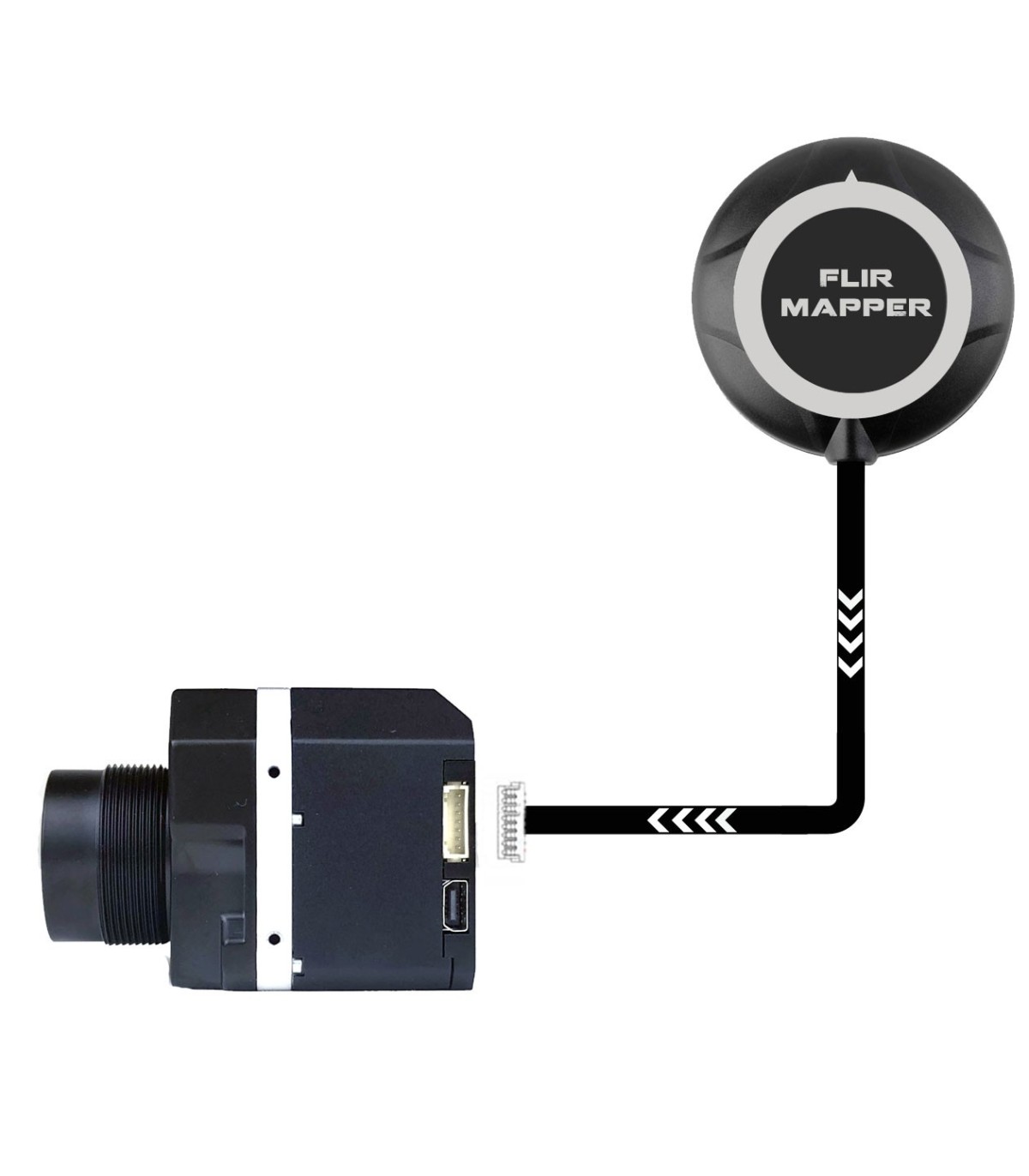
The system FLIR View Pro GPS Geotagger , you can save the GPS position of the images you take with your camera Flir (Latitude, Longitude, Altitude, universal Coordinated – UTC). These metadata are integrated directly into the EXIF at the time of taking a photo with the Flir camera View Pro and Pro R.
This Geotagger works directly, just plug it in! It is operational in 10 seconds : the time it takes for the system to pick up the satellite signal it needs to operate. (outdoor).
The system does not include the FLIR camera!
Technical characteristics :
- mass: Card 4g + GPS 20g
- dimensions: 20x33mm
- supply voltage: 5V
- operating temperature: -40°C to +85°C

